fmMapping 1.5
Direct Impact Solutions Inc.
Summary
Product Type: Apps
Price: Free
Last updated: 5/23/2019
Language: English
Product websiteCategory
fmMapping 1.5
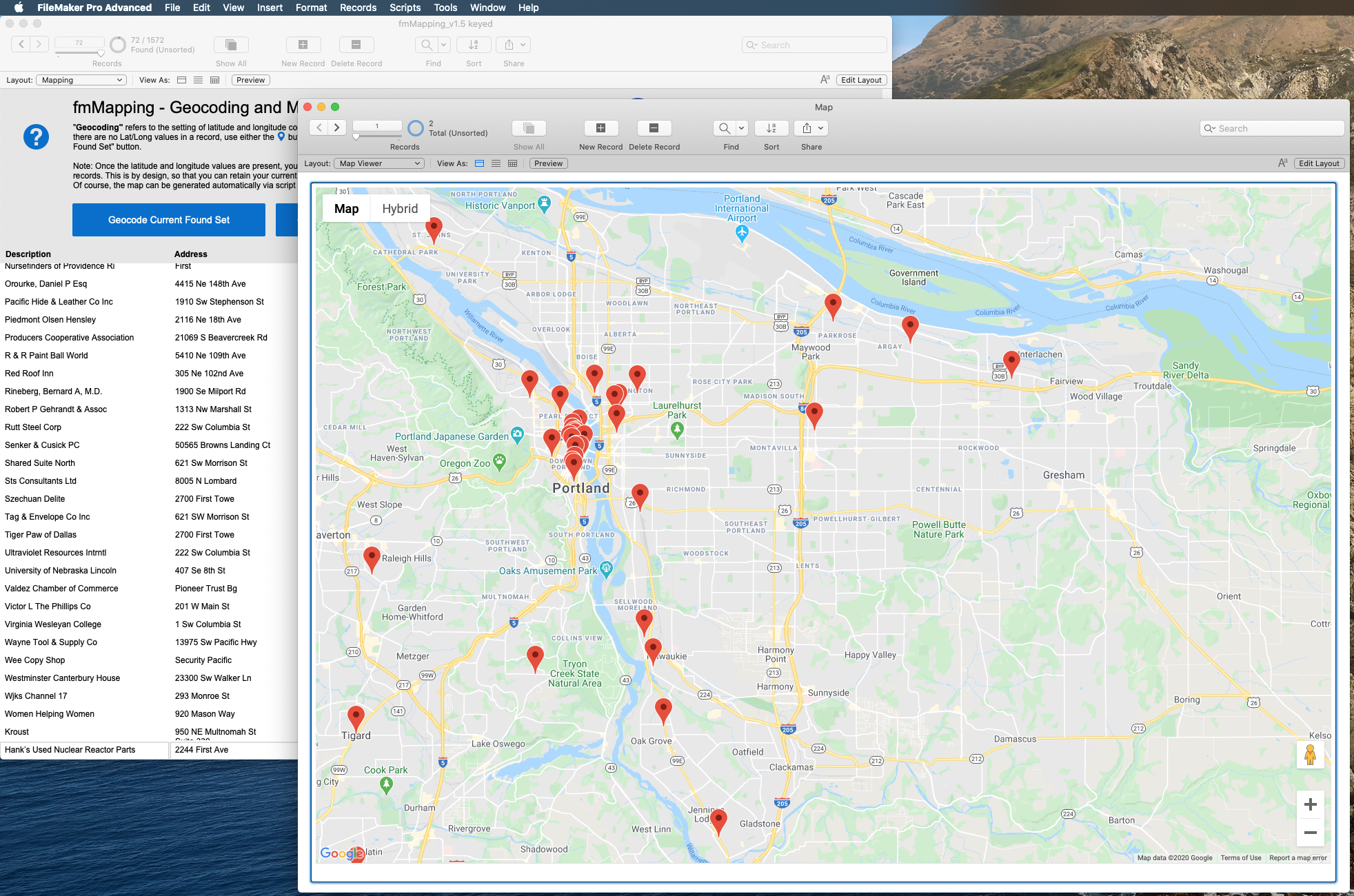
Convert addresses to Lat & Long and show multiple addresses as pins on a map.
Connect your database with Google’s Maps API to find the latitude and longitude for a given set of addresses (geocoding) and then display markers of those coordinates on a single Google map.
Each pin can have a custom color and will display data from your database.
Simple integration can be done in minutes, and we can customize on request.
What's New
Custom color pins, support JSON & FileMaker 18, and more.
